
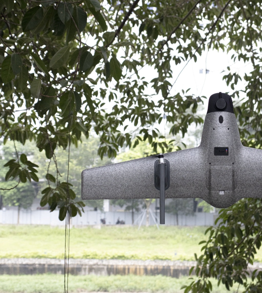
With the continuous advancement of drone technology, intelligent flight control systems have become a crucial component of modern unmanned aerial vehicles (UAVs). In the field of surveying, SWAN K1 MAPPING, as a leading surveying drone, brings a simplified and convenient operational experience to users through its advanced flight control system.
In the past, operating drones required experienced pilots with certain flight skills due to the complexity of the controls. However, with the development of intelligent flight control technology, the flight of modern drones has become increasingly straightforward and intuitive. SWAN K1 MAPPING has made positive innovations in this area, and it adopts rudderless control technology, which makes flight operations extremely simple. Compared with traditional rudder surface control, rudderless control reduces the complexity of flight components, reduces the failure rate, and improves the reliability of the UAV. This means that even users without flight experience can operate SWAN K1 MAPPING proficiently with simple training, increasing work efficiency and safety.
Another highlight of the intelligent flight control system is SWAN K1 MAPPING's vertical takeoff and landing (VTOL) capabilities, as well as its one-key mode switch function. In conventional drones, long and flat runways are required for takeoff and landing, limiting their application in complex terrain conditions. With VTOL capabilities, SWAN K1 MAPPING can safely take off and land in narrow areas without the need to search for suitable takeoff and landing spots. This feature is particularly valuable in scenarios with complicated terrain and limited landing conditions, such as mountains and forests. The one-key mode switch function allows users to swiftly switch flight modes for different tasks without complex operational steps, further enhancing work efficiency.
In practical applications, SWAN K1 MAPPING's intelligent flight control system brings great convenience and operational experience to users. During surveying tasks, operators can focus more on data collection and processing, without excessive concern about the difficulty of flight control. The simplification and intelligence of the flight control system not only improve work efficiency but also reduce training costs, enabling more professionals to quickly familiarize themselves with the system and engage in surveying work. With the addition of intelligent path planning capabilities, SWAN K1 MAPPING gains a competitive advantage in the surveying industry, providing users with a superior user experience.
Looking ahead, as drone technology continues to evolve, SWAN K1 MAPPING's intelligent flight control system will continue to be upgraded and refined. As a leading surveying drone, SWAN K1 MAPPING's advanced intelligent flight control system demonstrates outstanding performance and extensive application prospects in the surveying field.